What to do · Ribeira Sacra and the Sil canyon
PR-G 98 route through the Sil canyon and Santa Cristina
Information
- Duration
- 6 h
- Distance
- 18 km
- Season
- Spring and autumn
- Who it's for
- Fit hikers
- With a dog
- On a lead; stretches beside drops and hamlets with livestock
A waymarked circular route of about 18 km and six hours along traditional paths and dirt tracks around Parada de Sil, on the Ourense bank of the canyon. Turismo Ribeira Sacra rates it medium difficulty and 842 metres of cumulative ascent (and as much descent); Turismo de Galicia reckons six and a half hours. It gathers the best of this bank: groves of centuries-old chestnuts, the Balcones de Madrid and the Santa Cristina monastery.
The route
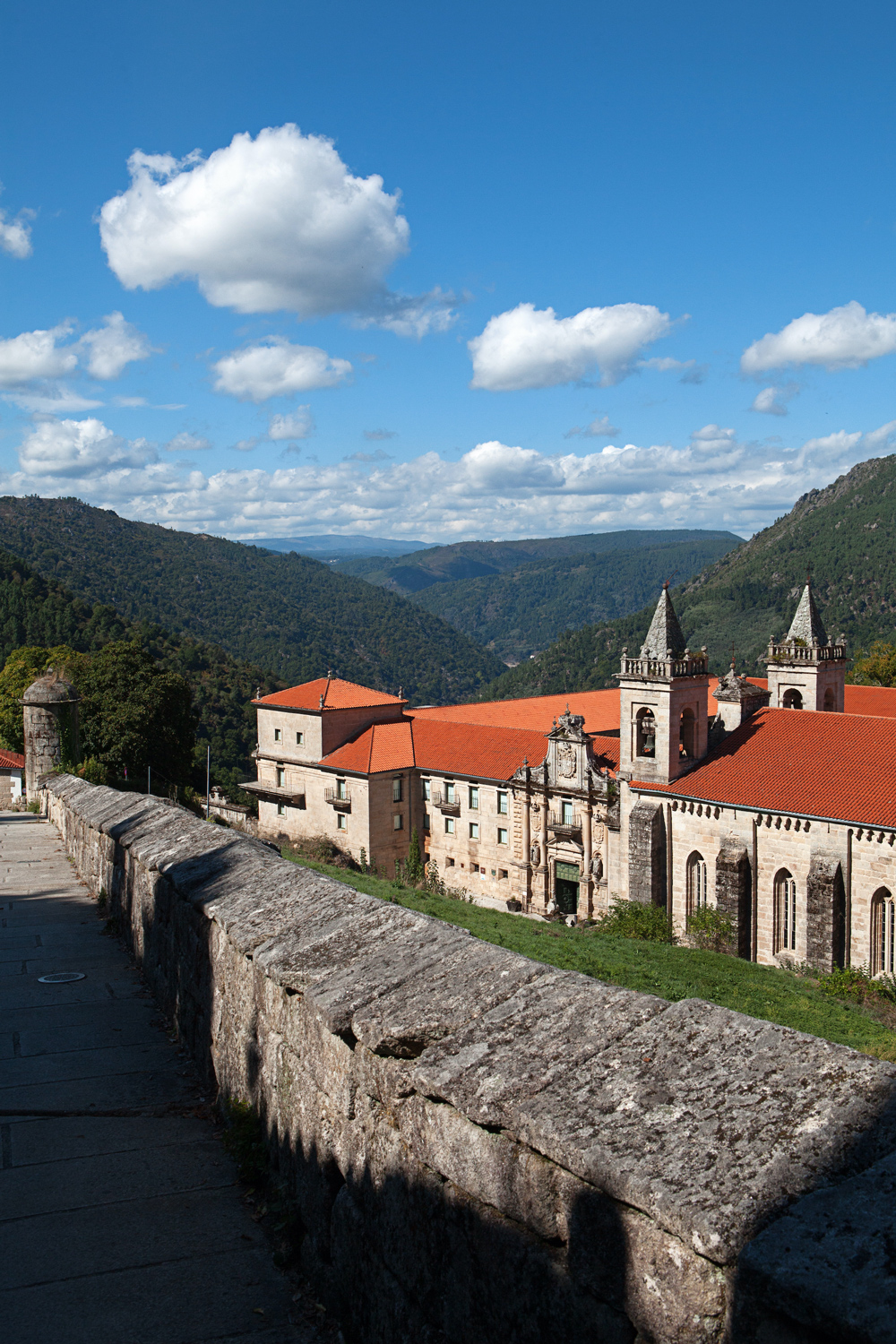
It starts at Praza do Barquilleiro, in Parada de Sil. It goes down into a deep valley with many old chestnut trees, follows a stream for a little over a kilometre and climbs again towards Fondo de Vila. From there it goes to the Balcones de Madrid and continues along the canyon rim, with views of the Sil, until passing the Santa Cristina monastery, surrounded by chestnuts, where you can go in if it is open. The final climb takes you back to the village.
Turismo de Galicia lists the places it passes through: Parada de Sil, Sardela, Entrambosríos, San Vitoiro, Fondo de Vila, O Fental, As Fontiñas, Portela, A Galiña, Castro and Chamoso. Along the way there are vineyards, ancient oak groves, ovens, drying sheds and mills.
Shorter versions
The PR-G 98.1 variant, of about 700 metres, links Parada de Sil with Fondo de Vila and lets you cut the route in half. For a short walk, it is enough to go from Praza do Barquilleiro to Fondo de Vila and the Balcones. The route is not suitable for bicycles.
Before setting out
Check the hours of the Santa Cristina monastery if you want to go in: it closes on Mondays and suspends visits from 9 December to March. Services are in Parada de Sil; the official page lists springs, but bring your own water and something to eat, because the hamlets along the way are small. With six hours of walking and over 800 metres of ascent, set out early, especially in summer, and in hiking boots. The GPX track can be downloaded from the Turismo Ribeira Sacra website.
From Ourense you reach it by the OU-536 to Vilariño Frío and the OU-0604 to Parada de Sil. Information from Parada de Sil Town Council, 988 208 010.
If you are looking for something shorter
The route's own page suggests visiting the Mao river canyon, near Parada de Sil, and walking its wooden walkways from the Fábrica da Luz: a walk beside the water, in the shade. If you only want the view, the Balcones de Madrid are 200 metres from their car park.
Frequently asked questions
Is it circular?
Yes; it starts and ends at Praza do Barquilleiro in Parada de Sil.
How long does it take?
About six hours, medium difficulty.
Can it be shortened?
Yes, using the PR-G 98.1 variant between Parada de Sil and Fondo de Vila.
With teenagersWith a dogWith friends